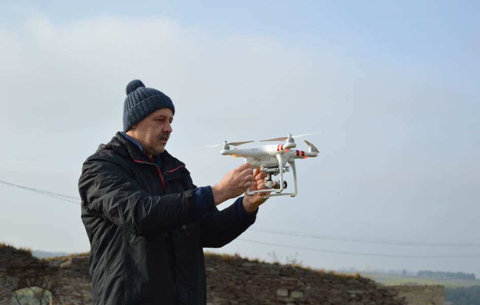
Drone Mapping

Info About Us


   Endeavoring to deliver innovative data processes and content delivery, our drone survey company in India provides aerial solutions by delivering high-quality Geo-Spatial solutions backed with enhanced speed and precision for both the public and private sectors. We offer highly accurate and detailed GIS Surveying, drone inspection, mining services, flood Assessment, crop health monitoring, survey, agriculture spraying, UAV data processing, 3D mapping, and aerial photography and qualified personnel such as wind turbine experts. We Provide specialized Drone service for projects across India and have earned the knowledge and skill to accomplish them through experience, teamwork, and reliable equipment.

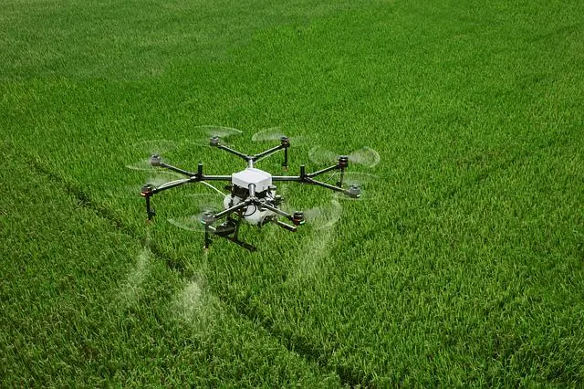
Agriculture spraying


   Bright solar Limited is more effective In Agriculture Spraying. We have Trained Manpower for Agro Spray And all Drones are registered. From Taking Our Drone Service, you can Get Subsidy from government recently The government of India has allowed Spraying Of pesticides by drones as A means of improving efficiency to Benefit farmers. The government Recognizes this new Technology As The need of the hour and has Introduced A Slew of measures to promote the use Of drones in Agriculture.

Highway & Railways Inspection


   Road Construction Monitoring using Bright solar Limited is more effective Construction and maintenance of Infrastructure projects including road And bridges are allowed by Geospatial Products. Since effective inspection is Effects directly the transportation network And safety of public so fast identification Of fundamental weaknesses is crucial. Highway Corridor Mapping makes easy For Road defect detection such as potholes And cracks, Alignment of Divider, over line Structures, Boundaries, Electric lines for Street Lights, Expansion of roads, Power Lines crossings.

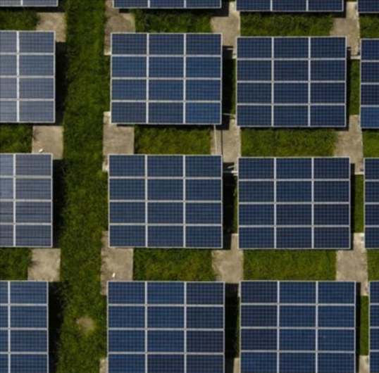
Solar PanelInspection


   Our key objective is to identify the faulty Solar Panels so they can be replaced by the manufacturers while they are in warranty, maximize output/efficiency and proactively addressing issues thus minimizing maintenance cost. We leverage drone Thermal Imaging and Aerial Inspections to provide accurate and detailed inspections quicker and more cost effectively

Mine Survey


   We provide accurate deliverables with our long withstanding performance UAV. Our UAVs effectively collect accurate data from an entire open pit operation and generate client specific deliverables including progress monitoring, mapping data of an entire mining site, and measurement of extraction volumes. We can also provide the aerial solution for mining industries. Bright solar Limited can effectively customize the technology to provide the best outcome for your project.

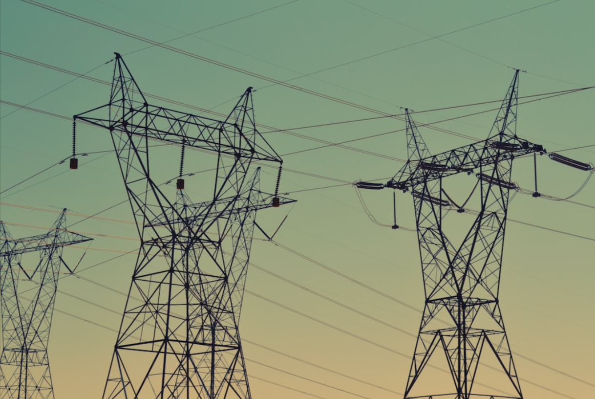
Power line Monitoring


   Power line inspection using drones is taking off as the ultimate solution, as it can cover immense portions of surface in each flight and provide accurate visualization of the power line components as well as surrounding objects. IG drones AI solution enables a faster and more accurate collection of visual information, and allows power companies to focus on fault-finding, effective repairing and strategic constructions and maintenance planning, while minimizing the risks to surveying teams.

Industrial Inspection
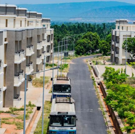


   Bright Solar Limited is revolutionizing the inspection industry. By using a drone to collect visual data on the condition of an asset, drone inspections help inspectors avoid having to place themselves in dangerous situations. Bright solar Limited has a lot of benefits in industrial inspection covering large areas in less time. Automated drones from Bright solar Limited used in oil & gas facilities for security, surveillance, emergency response and infrastructure inspection.

Smart City Survey


   Bright solar Limited can accurately relay real-time information which plays an important role in the civil security of cities and provides the civic administration to deploy proactive measures rather than reactive measures – such a decisionmaking process is a hallmark of a smart city concept. With the need to advance smart city programs quickly, drones offer flexibility, allowing surveyors to map long corridors efficiently at the start of projects and collect in-depth data to aid decision-making at an earlier stage.

Agricultural Survey


   Bright solar Limited provide growers, service providers, and as researchers a fast and efficient way to scout their crops, identify stress, create treatment plans, track plant growth, and much more. Using high-resolution RGB cameras can detect and quantify crop health problems early on. These valuable insights can reduce input costs and boost yield. Periodic capture of calibrated data from professional multispectral sensors offers insights into crop health regardless of illumination changes, giving you the needed data to derive quantitative trends

Disaster Management


   The use of Bright solar Limited to map disaster areas provides greater advantages in costs and in rapid response times when compared to traditional methods. Bright solar Limited can be deployed quickly, generate high-resolution and 3D mapping, identify hotspot areas that have sustained the most damage and upload the data in real time to coordinate relief efforts, Bright solar Limited have been worn by several aid organizations during natural disasters.